Remote Sensing Courses
Remote sensing courses can help you learn about satellite imagery analysis, geographic information systems (GIS), and environmental monitoring techniques. You can build skills in data interpretation, spatial analysis, and remote sensing applications in agriculture and urban planning. Many courses introduce tools like ArcGIS and QGIS, along with software for processing satellite data, that support analyzing and visualizing geographic information.
Popular Remote Sensing Courses and Certifications
 Status: Preview
Technical University of Munich (TUM)
Skills you'll gain: Cybersecurity, Accident Prevention, Safety and Security, Infrastructure Security, Medical Science and Research, Threat Management, Physical Science, Environmental Monitoring, Continuous Monitoring, Risk Analysis, Physics
 Status: Preview
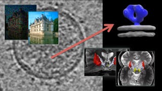
Skills you'll gain: Digital Signal Processing, Image Analysis, Computer Vision, Computer Graphics, Visualization (Computer Graphics), Medical Imaging, Spatial Analysis, Linear Algebra, Matlab, Mathematical Modeling, Histogram
 Status: NewStatus: Free Trial
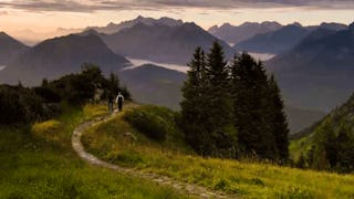
Skills you'll gain: Photography, Landscape Architecture, Geographic Information Systems, Global Positioning Systems, Planning, Research, Timelines, Creative Thinking, Critical Thinking
In summary, here are 3 of our most popular remote sensing courses
- Space Safety: Technical University of Munich (TUM)
- Image and Video Processing: From Mars to Hollywood with a Stop at the Hospital: Duke University
- Scout Like a Pro: Find Landscape Photography Locations: Skillshare


